The main objective of this assessment is to identify Climate Risks in terms of, principal climate hazards that affect the province and the extent of Exposure and Vulnerability in case of each climate hazard identified and, to prepare a Composite Risk Atlas and Maps/Indexes for the same at the district level.
The details of the objectives are as follows:
- Climate Hazard Assessment: To map all major Climate Hazards in each of the 5 provinces. To assess the information in terms of their nature, geographical distribution, severity and frequency.
- Document the changing patterns including trends of the climate hazards and projected changes in the future.
- Exposure and Vulnerability Assessment: To assess Physical, Social and Economic Vulnerabilities and prepare district wise vulnerability profiles/maps for climatic hazards.
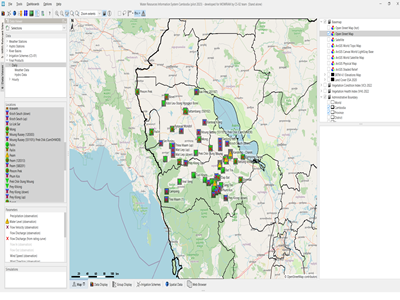
- Composite Risk Atlas & Maps: Prepare district wide risk maps/information (i.e. combining Hazard Exposure & Vulnerability information).
- Community Risk Assessment: Assess the community perspective on climate change; types of climate and weather related issues that are affecting the communities, impact of climate hazards on local economic systems, ecology and livelihoods of the communities and document community coping/ adaptation mechanisms.
- Identify needs and priorities and achievable solutions (for each of the major issues identified under hazard, vulnerability and needs assessment) for enhancing the resilience of communities.
Actual services provided by our staff within the assignment:
Tasks included:
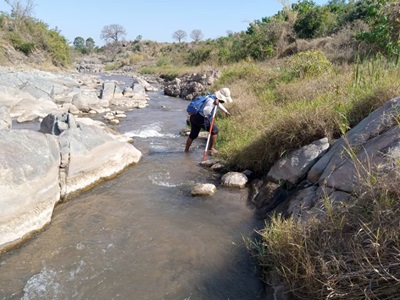
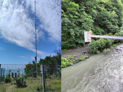
- building up of an encompassing knowledge database and assessment of the current situation in country (hydro-meteorological conditions and available data, analysis of climate change projections, assessment of important ecosystem services and climate change induced pressure on ecosystems affecting their functioning, analysis of the extent to which agriculture and rural livelihoods are already affected by Climate Change induced hazards)
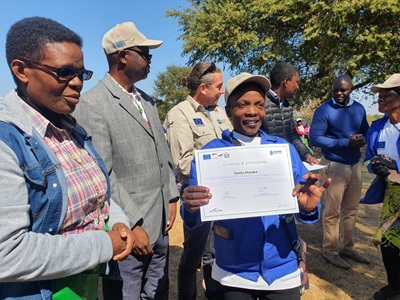
- extensive stakeholder consultations on national and provincial level
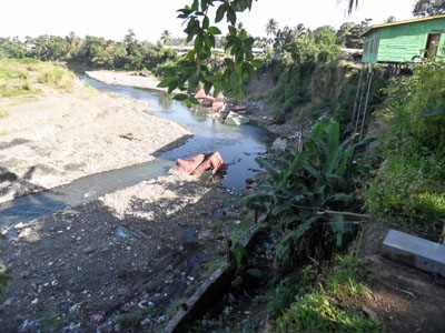
- development of province / district climate hazard profiles & maps (flooding, sea level rise, extreme weather events, increase of rainfall/precipitation intensities and variability, tropical cyclones / strong winds)
- assessment of resulting vulnerability (infrastructure/building, population/social, economic)
- development of a composite risk assessment including risk mapping
- national and provincial dissemination workshops to present the results
Name of client: UNDP/ Antea Belgium N.V.
Start date (month/year): 03/2015
Completion date (month/year): 01/2018