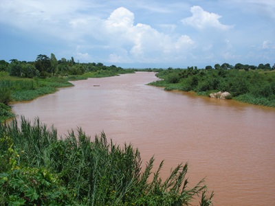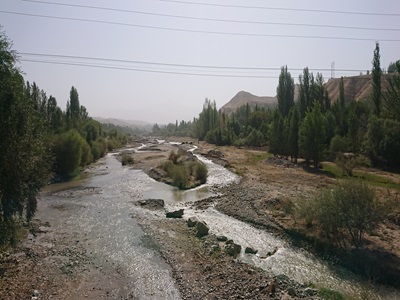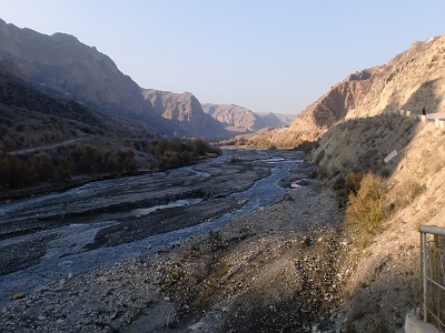
Tajikistan is a hydropower net exporter in Central Asia. 90 % of the nation’s electric power generation capacity is produced by the hydroelectric dams found along the Vakhsh River. This cascade of dams includes the world’s second tallest dam, Nurek Dam, with the future addition of the Rogun Dam upstream, which will be the world’s tallest dam when completed. The efficiency of hydropower plants can be affected by excessive sediment inflow due to land degradation and soil erosion. While this is typically one of many factors that can reduce efficiency, it is of particular concern in the Central Asian belt given the geomorphology of these mountains and the land degradation and deforestation they have suffered. Respectively, the efficiency and resilience of hydropower can be increased through watershed area management programs, which can also provide an additional source of green and inclusive growth for the country. The World Bank project main components respectively are to: (i) create awareness and influence among policymakers across energy, water resources, and forestry ministries on the role of catchment area management and PES schemes in promoting sustainable hydropower and as a source of green and inclusive growth; (ii) generate know-how on how integrated catchment area management can promote smart hydropower development and green inclusive growth through the application of ecosystem services-based modeling tools to map and value ecosystem services and to develop cost-effective catchment area management plans in selected catchments; and (iii) strengthen capacity of technical officers to apply catchment area management tools.
Actual services provided by our staff within the assignment:
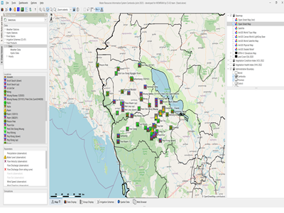
Service provided include:
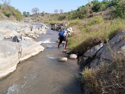
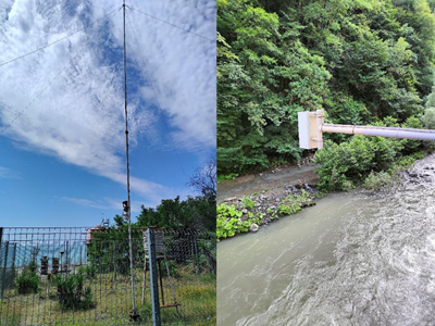
• Data collection;
• Hydrological modelling and sediment transport modelling (sediment source and -pathway identification);
• Identification of the ecosystem service range (ecosystem services analysis);
• Development and validation of the models linking these ES to hydrology, Land use/cover and sediment loads (ecosystem valuation);
• Development of a framework for economic valuation of ES across the basin;
• Development of economic analysis;
• Conduct sensitivity analysis to test the sensitivity of EIRR and NPV to variations in key input variables or assumptions;
• Identification locations and interventions to cost-effectively reduce sediment loadings (prioritization of interventions);
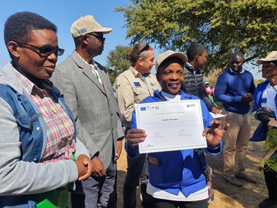
• Conduct capacity building, training and awareness-raising workshops;
• Stakeholder identification and consultations;
• Government training.
All the mentioned services conclude in a final technical report for the lower and upper sections of the Vakhsh Basin that cover (i) biophysical data sources and modelling and analytical methods, (ii) data and methods for economic analyses and valuation, (iii) analytical methods for valuation and prioritization of basin interventions including, (iv) final intervention recommendations, and (v) any broader recommendations and lessons learned including for next steps, future analysis, and capacity building needs.
Name of client: The World Bank
Start date (month/year): 01/2020
Completion date (month/year): 07/2021