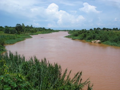
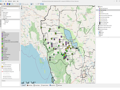
Wetland mapping in the whole of the Nile Basin. The project aims at identifying the wetland resources and ecological hotspots in the basin and includes field trips as well as stakeholder consultation, data evaluation, the processing of Landsat satellite imagery including wetland classification and the setup of a GIS database. The program contains an inception as well as a final workshop with stakeholders.
Actual services provided by our staff within the assignment:
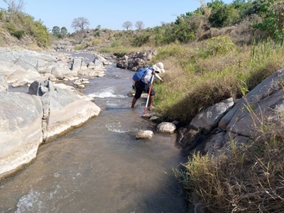
Initial wetland information was collected through literature research as well as to a large extent during field trips in the Nile Basin countries. Wetlands in the entire Nile basin were then delineated using a supervised classification approach based on NDVI image evaluation. Wetland information, especially regarding ecological aspects was further provided for incorporation in the Nile DSS, e.g. for balancing hydropower benefits against flood resilience and ecosystem services. Consideration of biotic/abiotic parameters as well as ecological modelling possibilities. Services further included liaison and interviews with local institutions and small scale players. Reporting included the up to date situation of the physical and ecological situation in the wetlands of the Nile Basin and descriptions of potential impacts of changes in the hydrological regimes through anthropogenic or climate changes and recommending soft engineering solutions for impact mitigation. Further works included meetings with the Nile DSS team and recommendations on the incorporation of environmental aspects and wetland functions into decision making processes for e.g. balancing hydropower benefits against flood resilience and ecosystem services. Consideration of biotic/abiotic parameters as well as ecological modelling possibilities.
Name of client: NBI / HR Wallingford
Start date (month/year): 11/2008
Completion date (month/year): 10/2009