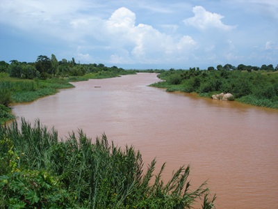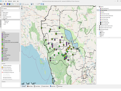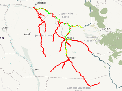
Navigability of South Sudanese rivers is only roughly known and highly dependent on the river flow conditions. A more exact assessment is needed of where and when which ships (between 20t and 100t of cargo) can sail and provide river transport. The client seeks to understand which river stretches of the Baro, Akobo, Sobat (BAS) river system upstream of Hillet Dolieb (before the inflow to the White Nile) can be accessed by river transport in near real time.
Actual services provided by our staff within the assignment:
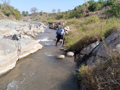
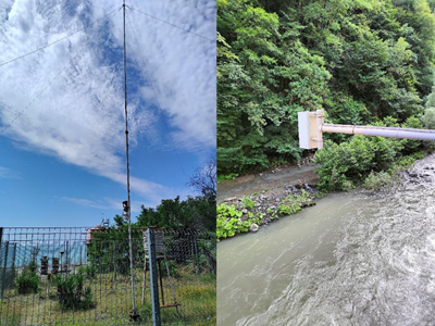
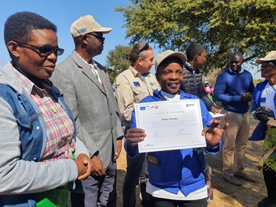
Data collection and analysis, client liaison, development of real time flow forecasting system for the Baro-Akobo-Sobat basin, development of flow-waterdepth correlations with spatial coverage for the Baro-Akobo-Sobat system, development of online web interface for result presentation (navigability status) for decision support, running online at https://basn.herokuapp.com, groundtruthing training and system calibration, training of counterpart staff, system maintenance.
Name of client: UN-WFP
Start date (month/year): 09/2018
Completion date (month/year): 12/2019