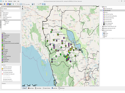
Disaster risk analysis and mapping in the Hindu Kush region of Afghanistan focusing on avalanche risk and landslide risk. The assessment and mapping covers the entire Badakhshan province.
Actual services provided by our staff within the assignment:
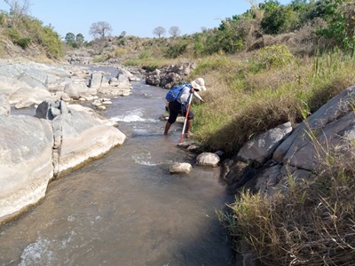
Activities include ground control point collection in various districts, adjusting the previously developed remote sensing based mapping methodology for extended spatial coverage and detail, geospatial assessment of a variety of datasets, modelling the risk of the different hazards and mapping the areas that are at risk under different circumstances including future climate change and land degradation aspects. Tasks include methodology development and team leadership.
Name of client: GIZ
Start date (month/year): 08/2013
Completion date (month/year): 08/2014

