Consulting Services for preparation of Assam State Water Resources Assessment (SWRA) Report under Assam Integrated River Basin Management Project (AIRBMP)
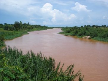
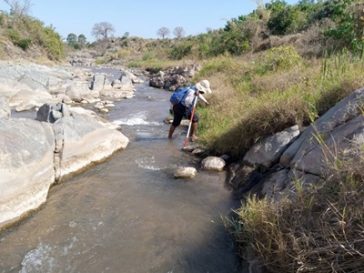
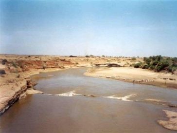
The Assam Integrated River Basin Management Program (AIRBMP) is a multi-phase program, funded by the International Bank for Reconstruction and Development (IBRD), that aims to reduce the vulnerability of people to climate-related disasters and improve integrated water resources management in … Read More