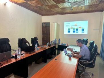
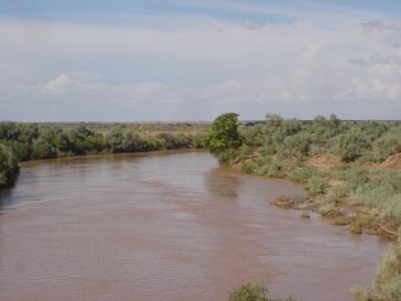
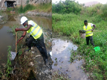
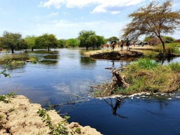
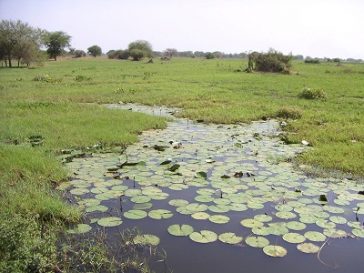
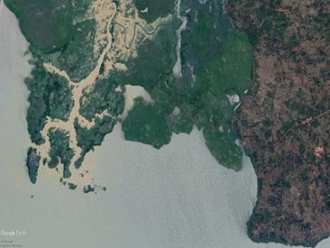
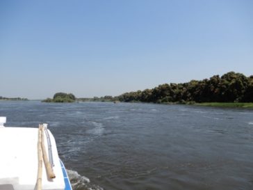
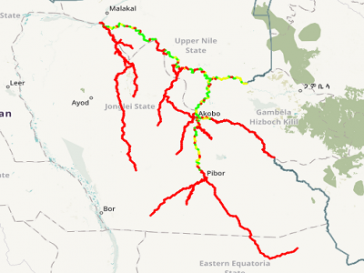
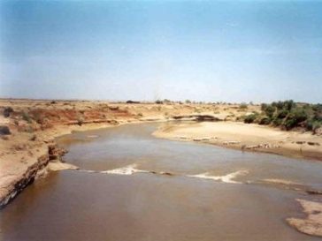
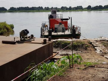
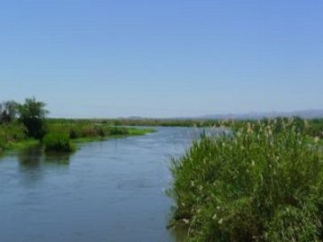
Sustainable Water Resource Management

Sustainable management of this critical resource requires an understanding of the nature and scope of the problems to be managed in general and to acquire useful information which enables the stakeholders to identify and assess existing and potential future water … Read More

Machar Marshes Eco-Hydrology Assessment Project

The entire wetland of Machar Marshes depends on the hydrology of the Baro Akobo Sobat (BAS) sub-basin. The sizes of the wetlands vary with floods and the rain seasons but they store lots of water which could run off before … Read More

Assessment and mitigation of Akagera river avulsion

The Rusumo Falls Hydroelectric Project (RFHP) is currently under construction. Upstream of the project site, shortly before the former confluence of the Nyabarongo and Akagera rivers, an avulsion has occurred and the Nyabarongo river is now flowing directly into Lake … Read More

Developing Capacity for Climate Resilient Road Transport Infrastructure

Rwanda’s road vulnerability to climate-change has increased steadily in the last decades. This includes vulnerability to land erosion and landslides as well as flooding, resulting in road damage and service interruptions. The Rwanda Transport Development Agency (RTDA) is the main … Read More

Nile Basin wetlands of transboundary significance: Inventory, Baseline Study and Framework Management Plan with a nested case study on the Sudd

The Nile and its main tributaries flow through several large wetlands of great relevance for biodiversity conservation and ecosystem services. The aim of the project is to strengthen the capacity of the NBI and the riparian states for the management … Read More

Real-time navigability assessment of South Sudan Waterways

Navigability of South Sudanese rivers is only roughly known and highly dependent on the river flow conditions. A more exact assessment is needed of where and when which ships (between 20t and 100t of cargo) can sail and provide river … Read More

Assessing Potential for Sand Dam Wadi Developments in Somalia

Water Practice wished to explore intervention options for implementation in the south of Somalia. As such, sand dam and sub surface dam site selection is crucial and the World Bank has undertaken a pre-feasibility study for developing wadis in the … Read More

River Barge System Feasibility Study

In light of South Sudan’s ongoing civil conflicts, the Nile River is recognized as the last resort for transporting humanitarian supplies to the millions of IDPs and people at risk due to security and food related crises in the country. … Read More

Coarse Eflow Assessment in the Nile Basin

The project carries out a coarse environmental flow assessment in the entire Nile Basin based on existing data, applying the NBI environmental flow methodology that has been previously developed by HYDROC for the NBI under a GIZ funded project. The … Read More

Consultancy Services for Thwake Reservoir Modelling

The Government of Kenya (GoK) through the Ministry of Water and Irrigation is implementing Thwake Multi-purpose Water Development Program (TMWDP) comprising a multi-purpose dam for water supply, hydropower generation and irrigation development in Kitui and Makueni Counties. It will also … Read More

Strengthening Somali Capacity to Address Disaster Risk Management

Somalia’s development challenges are enormous. Decades of conflict, political instability, persistent drought and famine have disrupted delivery of desperately needed services, devastated human capital and physical infrastructure, and contributed to systematic impoverishment and displacement of the population. In addition, Somalia … Read More

Physiographic Survey of Nzoia Watershed

The physiographic study is purposed to spatially and physically characterise the Nzoia watershed along several land characteristics including land cover, land use, soil characterisation, slope characterisation, land cover changes, agro-climatic zones, catchment degradation, morphology, geology, and water quality with the … Read More

Climate Change Adaption Modules for University Level Education

The overall objective of the project is the development of curriculum for a climate module for various study programmes for universities in Somalia. The designed climate module shall be designed for inclusion in study programmes referring to environmental and natural … Read More

Preparation of NBI Guidance Document on Environmental Flows

The objective of this assignment is to develop a structured and scientifically based Nile Basin Initiative (NBI) procedure for establishing environmental flows requirements for transboundary water resources planning purposes in the Nile Basin. Actual services provided by our staff within … Read More

Macro level study on the integrated development potential of sand-river wadis

Macro level study on the integrated development potential of sand-river wadis of Somaliland and Puntland. The study aims to define the hydrological principles that should be followed for improved planning, operation, maintenance and management of water resources in Somaliland and … Read More

Integrated Flood Management in Kampala, Overall Assessment of Flood Risk with Pilot Flood Hazard Mapping under Climate Change

The project is conducted according to the principles of integrated flood management, carried out under the auspices of UN-Habitat’s Cities and Climate Change Initiative (CCCI). The objectives of the assessment include 1. a comprehensive, city-wide assessment of the risks of … Read More

IALUO – Integrated Assessment of Land Use Options for Climate Change Mitigation and Adaptation

Malawi is under significant pressure from population growth and climate change. It is foreseeable that land and water resources will become scarce and water allocation and water quality aspects will be key for the future sustainable development of the country. … Read More

NBI-NTEAP Wetlands Inventory And Mapping In The Nile Basin

Wetland mapping in the whole of the Nile Basin. The project aims at identifying the wetland resources and ecological hotspots in the basin and includes field trips as well as stakeholder consultation, data evaluation, the processing of Landsat satellite imagery … Read More