HYDROC provides custom tailored GIS analysis and mapping services utilizing spatial data, remote sensing information as well modelled or remodelled data products. Analysis relates to water resources management, hydrological modelling, disaster risk management and information management including information systems development.
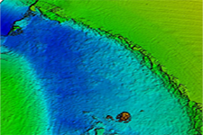
Remote Sensing
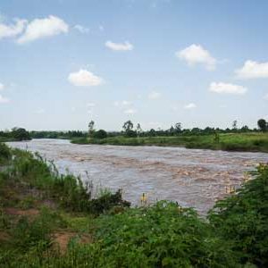
Mapping of landuse and landcover, development of high resolution DEM based on remote sensing products, including satellite- aircraft and drone based datasets for detailed assessments as well as on broad spatial scales
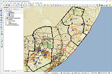
Online GIS & Mapping
Development of managed online GIS database- and water information systems (WIS) focusing on information provision and decision support. Development of custom built Python scripts. Data repositories and online GIS systems including quality management. Functionality for different levels of users.
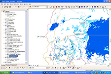
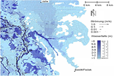
Spatial modelling
Analysis of spatially distributed hydrological conditions and assessment of disaster risks on broad scales covering river basins or entire regions. GIS based hydrological modelling using Python scripts, runoff- and erosion analysis for flood risk assessments and erosion quantification.
Drone surveys and mapping
Aerial surveys for fast and cost effective acquisition of detailed landcover and topographic datasets to be utilized for further image analysis using drones.