HYDROC provides engineering and consultancy services for ports, harbours, river training works and sustainable infrastructure projects.
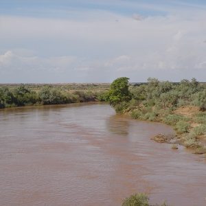
River Engineering
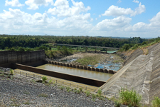
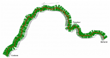
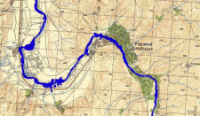
Design and construction supervision of river training works, intakes, piers, and bridge abutments. Erosion protection, flow channelling and slope stabilisation, rehabilitation of dikes and emergency flood engineering.
Irrigation Engineering
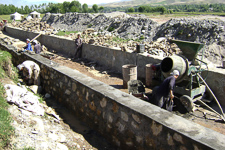
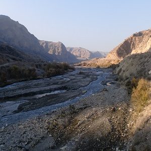
Mountainous regions, braining rivers and seasonal rivers are examples where the offtake of irrigation water poses significant challenges. We have experience in a variety of environments and approaches to solve irrigation problems including hydrological aspects, structure design and on-farm water management.
Stormwater Drainage
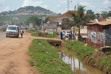
Urban stormwater drainage is becoming increasingly important with urbanisation, growing cities and climate change leading to more extreme rainfall events. Sustainable Drainage Systems (SuDS) play an increasingly important role in avoiding flooding and balancing upstream and downstream requirements. We have strong expertise and experience in respective assessment, masterplan development and design works.
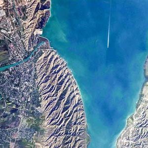
Ports & Waterways
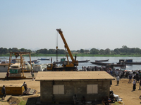
Hydrographic assessments including bathymetric surveys and holistic assessment of hydraulif, environmental and social parameters for navigability- and river transport studies using on-site as well as remote sensing data. Asessment of port conditions including quay- storage and infrastructure facilities, modelling of hydrodynamic conditions as well as vegetation surveys and analysis. Environmental impact assessments. Development of design criteria and prioritized intervention catalogues as well as feasibility studies and detailed design criteria.
Hydraulic modelling
Hydraulic modelling is used for understanding the hydraulic behaviour of river systems in various aspects including water level fluctuations, current velocities and flow rates under different conditions that are used to conduct flood assessments, shipping studies, structural designs, erosion assessments and environmental studies. In our approaches we use state of the art modelling software considering 1D, 2D and 3D approaches depending on the assessed problems.
Flood modelling
Flood modelling delivers detailed information about flood scenarios including flood extent, inundation depth and depending on methodology current velocities and inundation time. We carry out flood modelling ranging from detailed high resolution analysis at local scale for flood risk assessments to broad basin-wide flood analysis. Linking flood modelling to satellite data we provide real time flood risk analysis. Considering future climate scenarios develop potential future flood risks under climate change conditions. Our analysis aim at understanding flood risks and threats e.g. for flood risk- and flood consequence assessments.