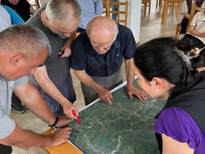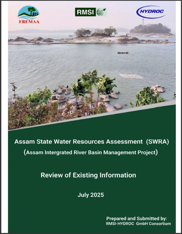
The Assam Integrated River Basin Management Program (AIRBMP) is a multi-phase program, funded by the International Bank for Reconstruction and Development (IBRD), that aims to reduce the vulnerability of people to climate-related disasters and improve integrated water resources management in the state of Assam.
Actual services provided by our staff within the assignment:
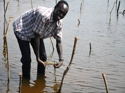
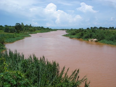
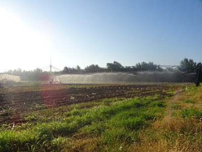
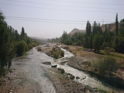
The hydrological assessments include both surface- and groundwater with activities including hydro-meteorological data collection from various central and state departments/agencies; Preparation of an overview of surface water resources in main river basins i.e. Brahmaputra and Barak, and in primary sub-basins within Brahmaputra-Barak River Basin (BBRB); Assessment of the hydrological regime of BBRB covering basin overview of runoff/flows and levels and climate characteristics such as rainfall, temperature and snow melt, etc; Assessment of surface water resources including rivers, lakes, glaciers, wetlands, soils, canals, dams, hydropower and storage reservoirs etc; Analysis, assessment, and presentation of status and trends of surface water resources at different spatio-temporal scales. i.e. inter-and intra-annual variability at varied locations in a Basin and Sub-basins and trends covering water balance, impact of development, consistency of monsoon etc; Preparation of GIS-based data and maps on current water resources availability and usage (with remote sensing GIS specialist); Assessment and discussion of information gaps (surface water and climate monitoring); Prepare baseline and other maps; Collect existing groundwater data for the BBRB in Assam; Compile information from existing studies and literature to identify critical information gaps on groundwater resources, characterise and map the major groundwater districts in the BBRB in Assam; Estimate groundwater resource, yield, recharge rates and water quality issues; Estimate the distribution, patterns and levels of current and potential groundwater water use in the basin and identify any ‘hot spots’ for groundwater overuse; Estimate the potential for conjunctive use of surface and groundwater in suitable parts of the basin to increase benefits and reduce costs of irrigation, drainage and water supply (domestic and industrial); Determine a set of key groundwater resource indicators for which the services will be summarised as spatial-temporal trends in these indicators; Analyse, assess, discuss and present data/information/conclusion basin-wide as well as sub-basin-wide.
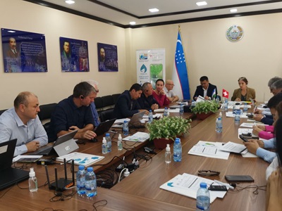
Name of client: Flood and River Erosion Management Agency of Assam (FREMAA)
Start date (month/year): 02/2025
Completion date (month/year): 02/2025