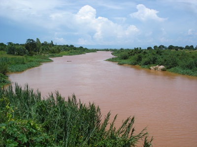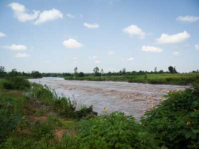
The physiographic study is purposed to spatially and physically characterise the Nzoia watershed along several land characteristics including land cover, land use, soil characterisation, slope characterisation, land cover changes, agro-climatic zones, catchment degradation, morphology, geology, and water quality with the aim to understand and tackle the threat of rapid silting of the Lower Nzoia Irrigation Scheme. The study will result in agreed zones outlining vulnerable soil erosion hotspots as well as zones for catchment management and proposed interventions for the purpose of supporting the relevant stakeholders in implementing and managing the Nzoia Watershed Project. Results will include a thorough understanding why erosion occurs where, where sediments may get deposited and what options may be available for preventing or mitigating the erosion/sedimentation processes.
Actual services provided by our staff within the assignment:
Detailed works in our responsibility include a desk study; remote sensing and satellite imagery interpretation; erosion modelling (using RUSLE); field survey to carry out ground truthing and issue identification; collection and analyses of samples for water quality and sedimentation; data analysis, issue analysis and collation; development of a physiographic map; options assessment and recommendations of catchment management activities; and, capacity building.
Name of client: Ministry of Water and Irrigation
Start date (month/year): 11/2016
Completion date (month/year): 05/2017