Macro level study on the integrated development potential of sand-river wadis of Somaliland and Puntland. The study aims to define the hydrological principles that should be followed for improved planning, operation, maintenance and management of water resources in Somaliland and Puntland. Appropriate models and decision support tools are required for water resources management and these must be based on appropriate understanding of hydrological processes. Two major objectives are
- Production of a set of baseline maps for the siting of wadi developments based on an interpretation of remote sensing (RS) data, including geology, soil and geomorphology, land use and vegetation and a detailed topography allowing for 3D interpretation of the regional geology and fluvial drainage.
- Investigate and review hydrological models for application in wadi development and provide recommendations of a decision-making support model for the analysis of fluxes, change and trends in water and land resources.
Actual services provided by our staff within the assignment:
Literature review, wadi site shortlisting and prioritisation for more detailed (very high resolution) RS analysis and the production of detailed maps (1:10,000 scale and Digital Elevation Model (DEM) at sub-meter accuracy developed with stereo-image matching technologies). Development of 1:100,000 scale land use and geosciences thematic maps for the whole of Somaliland and Puntland.
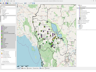
Development of a Wadi Evaluation Tool (WET) to enable respective stakeholders to assess the spatial distribution of potential sites for water resources developments at different locations.
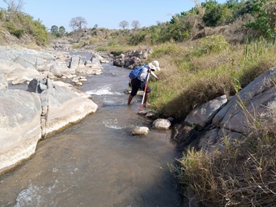
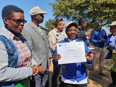
Describing the geological, geotechnical and geomorphological aspects of wadi-development, linked to the assessment of, and proposals for modelling of wadi-water resources. Development of survey requirements for detailed site investigations at 10-20 sites to ground truth the RS data phase. Ground truthing mission to validate RS data in the field. Development of a WET application process for the sustainable utilisation of the tool at ministry level. Training given to selected national staff in GIS and WET application.
Name of client: The World Bank
Start date (month/year): 01/2015
Completion date (month/year): 07/2015