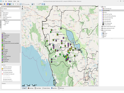
Thorough disaster risk analysis and mapping in the Hindu Kush region of Afghanistan focusing on avalanche risk, flood risk and landslide risk. Four districts in Badakhshan Province are assessed, described and mapped regarding their risk profile.
Actual services provided by our staff within the assignment:
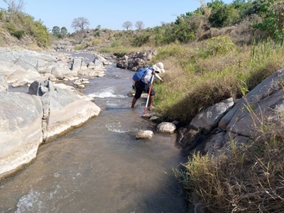
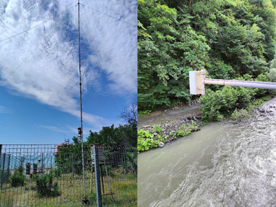
Activities include team leadership, the organisation, planning and supervision of field data collection, geospatial assessment of a variety of datasets, development of methodologies and GIS algorithms for evaluating the risk of the different hazards and mapping the areas that are at risk under different circumstances including future climate change and land degradation aspects. Avalanche and landslide risk were assessed with ArcGIS, the flood risk using HEC-RAS.
Name of client: GIZ
Start date (month/year): 10/2011
Completion date (month/year): 11/2011

