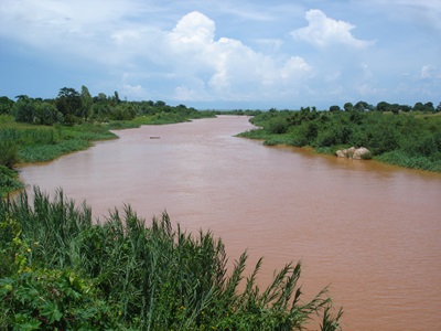
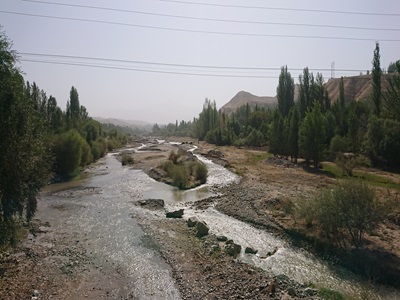
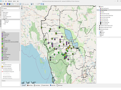
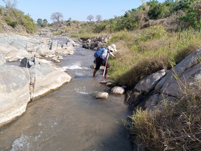
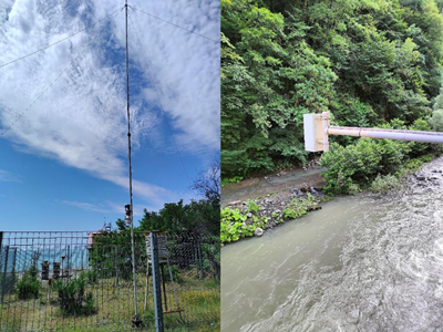
Flood risk modelling and mapping for the entire Badakhshan Province of Afghanistan based on a combined modelling / remote sensing approach, the development of detailed flood maps, development of guidelines for map use in English and Dari as well as dissemination of project results in order to ensure sustainable utilisation.
Actual services provided by our staff within the assignment:
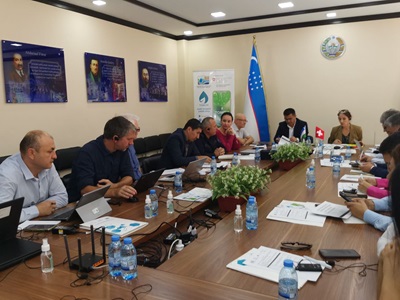
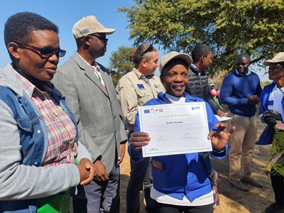
Development of combined modelling / remote sensing methodology for broad scale flood mapping on provincial scale under very data scarce conditions. Supervision and providing guidance for project implementation using HEC-RAS modelling and a GIS based flood estimation algorithms. Development of flood maps and user guideline including quality assurance, planning and conduct of stakeholder workshop, identification of hotspot areas for interventions, identification and prioritisation of follow-up actions and recommendations.
Name of client: GIZ
Start date (month/year): 10/2014
Completion date (month/year): 12/2014

